ELEVATE THE PERFORMANCE AND SAFETY OF YOUR OPERATIONS
In At DRONE & GIS, we transform aerial and ground data into strategic intelligence.
We specialise in the capture, processing, and analysis of geospatial information, offering solutions that optimise operations and ensure safety.
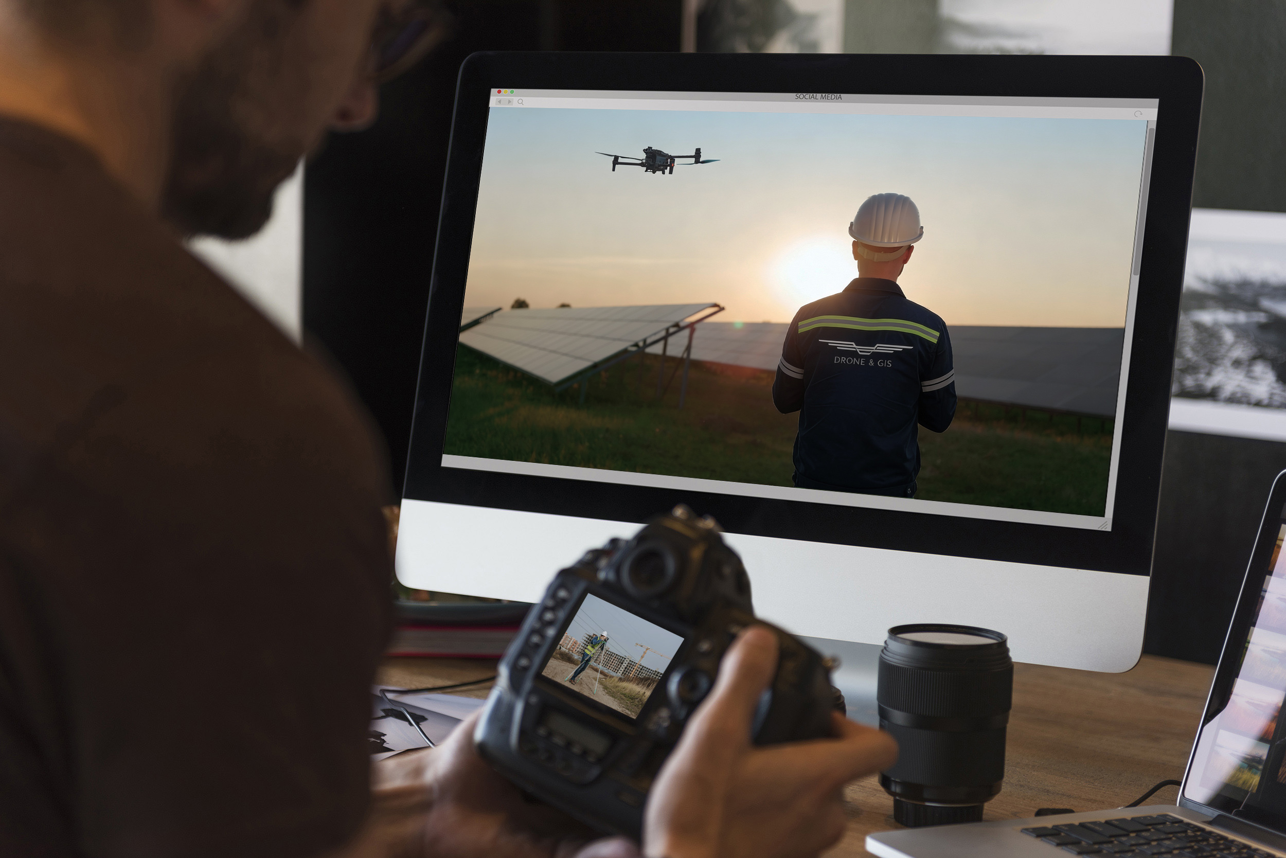
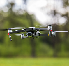
We utilise cutting-edge Drones to conduct High-Precision Mapping, Inspections, and Monitoring.
Our flight workflows are meticulously planned to collect data quickly and efficiently, ensuring the creation of highly reliable digital twins and detailed maps.
Vision. Analysis. Action.
We capture precise data from your physical assets using state-of-the-art equipment. We transform this raw data into actionable intelligence through our GIS expertise. We deliver the essential insights for you to optimise processes, reduce operational costs, and mitigate risks anywhere in the world.
Maximum Safety in Critical Infrastructure Inspection
Key Industries We Serve
Energy and Utilities
Agribusiness and Precision Agriculture
Oil and Gas
Transportation and Logistics
Environmental Management
Architecture, Engineering, and Construction
Mining
Water Resources Management
Telecommunications
Key Benefits
Exponential Increase in Operational Safety
The use of Drones for inspection and mapping eliminates the need to expose teams to high-risk environments. DRONE & GIS enables remote and detailed monitoring, identifying potential structural and geomechanical faults, which ensures a significantly safer working environment.
Cost Reduction and Increased Productivity
Efficiency in data collection translates directly into budgetary optimisation. The reduction of field time, the optimised use of equipment, and the prevention of accidents and unscheduled downtimes generate economies of scale. Furthermore, the availability of precise data allows for more effective planning, driving the profitability of the operation.
Data Integration for Intelligent Management
The major differentiator of DRONE & GIS lies in its ability to transform spatial data into business intelligence. By integrating field-captured information into a Geographic Information System (GIS), we centralise data on a single platform. This provides a holistic view of the company's assets, facilitating complex spatial analyses and supporting long-term strategic planning.
KEY SERVICES AND PRODUCTS
Aerial and Ground Inspections
We transform raw data into strategic intelligence. By integrating detailed aerial inspections with ground-based analysis, we deliver accurate diagnostics and bespoke solutions tailored to the demands of your sector.
Capture visual data with millimetre precision. Our technology delivers detailed information quickly, safely, and highly cost-effectively, meeting the critical needs of various industrial sectors.
We digitise the physical world to ensure error-free projects. We deliver point clouds, CAD designs, and high-fidelity 3D/BIM models to optimise the execution of your construction projects.
Discover how DRONE & GIS inspected 1.6 million solar panels using drones equipped with RGB and thermal sensors, combining aerial photogrammetry techniques with advanced GIS analytics. The applied methodology enabled the highly accurate and effective acquisition of data, without generating risks to operators and with zero downtime in the plant's energy generation.
Infrastructure Monitoring and Analysis: Aerial Inspection of Right-of-Way in Railway Corridors
See in practice how DRONE & GIS's cutting-edge technology applied its expertise in aerial monitoring to inspect vast stretches of railway corridors. The project resulted in the proactive identification of risks, the optimisation of maintenance costs, and a qualitative leap in operational safety for the client.
Study of Planting Rows and Gaps in Large-Scale Crops.
Discover how DRONE & GIS mapped with high precision every crop row and planting gap across an area of 30,000 hectares. The analysis generated an opportunity map for replanting, directly driving an increase in agricultural productivity for one of the largest global players in the sugarcane and energy sector. players global sugar and ethanol sector.
Cloud-based Multi-Sensor Geospatial Intelligence Platform. Integrate imagery from Drones, Satellites, Terrestrial Sensors, and ready-to-use Maps into a single, collaborative environment.
Transform visual data into structured insights using Artificial Intelligence for Mapping and Inspection. Access advanced spatial analysis, vectorisation, and Geoprocessing tools from anywhere to manage your assets with absolute precision.
Explore the DRONE & GIS blog and follow exclusive content, articles, and insights about drones, geotechnologies, and geospatial intelligence applied in different sectors.